Paris folder A/parisA025
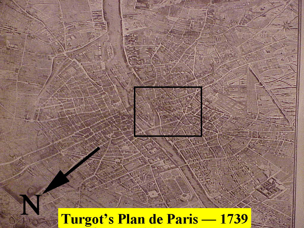
Previous | Home | NextIn 1734 Michel-Étienne Turgot (1690-1751), mayor of Paris, commissioned Louis Bretez to draw up a complete map of Paris in order to facilitate planning of city expansion and growth. The result was the "Plan de Turgot" in 1739. A huge replica of this may be seen in the Louvre. The view is southeastward, upstream along the Seine River. At a distance, the overall map is not particularly impressive, but upon closer inspection one is amazed at the detail. As an example, the identified area in the center of the city is expanded in the next photo.
